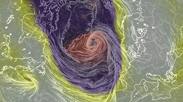
A powerful winter cyclone, that led to two tornado outbreaks in the United States and disastrous river flooding, has driven the North Pole to the freezing point this week. The Washington Post reported that the temperature of North Pole was 50 degrees Farenhite above average for this time of year.
A mind-boggling pressure drop was recorded in Iceland: 54 millibars in just 18 hours. This kind of pressure drop was triple the criteria for a “bomb” cyclogenesis, the report said. A “bomb” cyclone is defined as dropping one millibar per hour for 24 hours.
As the storm churns north, it forces warm air into the Arctic Circle. On Wednesday morning, temperature over a vast area around North Pole were somewhere between 30 and 35 degrees Fahrenheit, and for at least a brief moment, surpassed the 32-degree (0 degree Celcius) threshold at exactly 90 degrees North, according to data from the GFS forecast model.
Data from the International Arctic Buoy Program confirms that temperatures very close to the North Pole surpassed the melting point on Wednesday.
Capital Weather Gang’s Jason Samenow wrote that the average winter temperature in the north pole is around 20 degrees below zero.
A temperature around the freezing mark signifies a departure from normal of over 50 degrees Farenhite, and close to typical mid-summer temperatures in the Arctic region. In other words, the area around the North Pole was about as warm as Chicago or Manali on Wednesday.
(At The Quint, we question everything. Play an active role in shaping our journalism by becoming a member today.)
