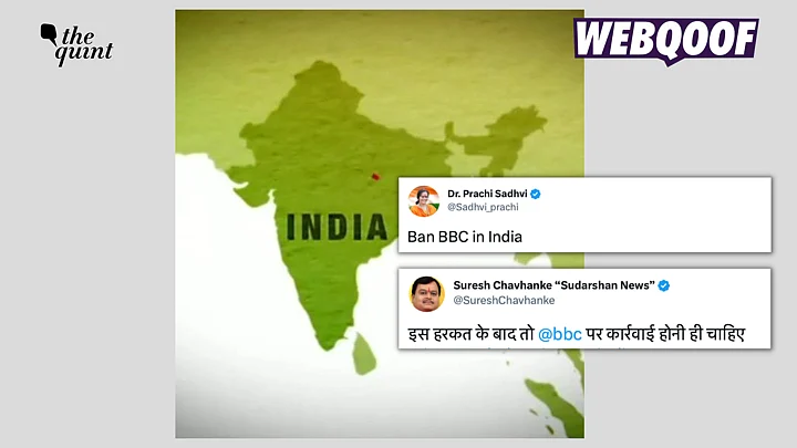
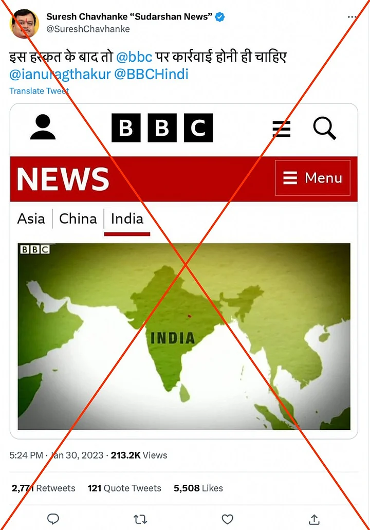
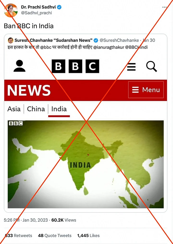
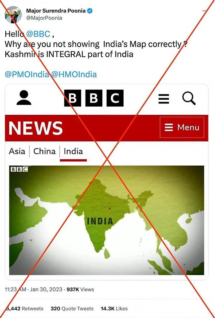
A screenshot of a BBC article – which shows India's map without Jammu and Kashmir – is being shared on social media. Those sharing the screenshot are calling for a "ban" on the broadcaster.
Who are the ones sharing it?: Sudarshan News' Editor-in-Chief Suresh Chavhanke, Vishwa Hindu Parishad (VHP) leader Sadhvi Prachi, and Major Surendra Poonia are some of the people who shared the claim.
(Note: Swipe right to view all claims.)
(Archives of more claims on social media can be seen here, here and here.)
Why is it relevant?: The claim come in the backdrop of BBC's three-part documentary titled 'India: The Modi Question'.
BBC's documentary reportedly examines Prime Minister Narendra Modi's tenure as the chief minister of Gujarat, focusing on the 2002 Gujarat riots.
The controversial documentary has been banned in India. It drew heavy criticism from the government, which dubbed it a "propaganda piece."
But..?: While BBC did use the wrong map of India, the graphic seen in the claims is taken from a 2015 video story which has been taken down and is not available for viewing.
How do we know this?: While examining claims on social media, we came across a tweet by tech entrepreneur Anil K Antony, who shared a few similar screenshots.
He mentioned that it showed "some past shenanigans of BBC" which used "truncated maps without Kashmir."
This tweet carried the screenshot from the claim, which showed a headline "Modi Miles: Why is India PM Narendra Modi always flying?"
Another screenshot showed an article with the headline, "US Election 2020: What do countries around the world from Joe Biden?"
An old BBC report: We looked for it on BBC's website but came across an article that was taken down "for editorial reasons."
This article was published on 12 November 2015.
It mentioned, "This video originally used an inaccurate map of India" and that they had "taken the decision to remove the video" in light of that error.
Using Wayback Machine – an archiving website – we found the archived version of this article, where we saw the video.
Ten seconds into the report, we saw a similar graphic which showed an incorrect map of India, similar to the one in the claim.
Further, another report from 17 January 2021 carried an incorrect map of India, which was later updated with a note that mentioned that "the error was corrected."
Conclusion: The screenshot showing an incorrect map of India in a BBC report is of an old report from 2015, which has since been taken down.
(Not convinced of a post or information you came across online and want it verified? Send us the details on WhatsApp at 9643651818, or e-mail it to us at webqoof@thequint.com and we'll fact-check it for you. You can also read all our fact-checked stories here.)
(At The Quint, we question everything. Play an active role in shaping our journalism by becoming a member today.)


