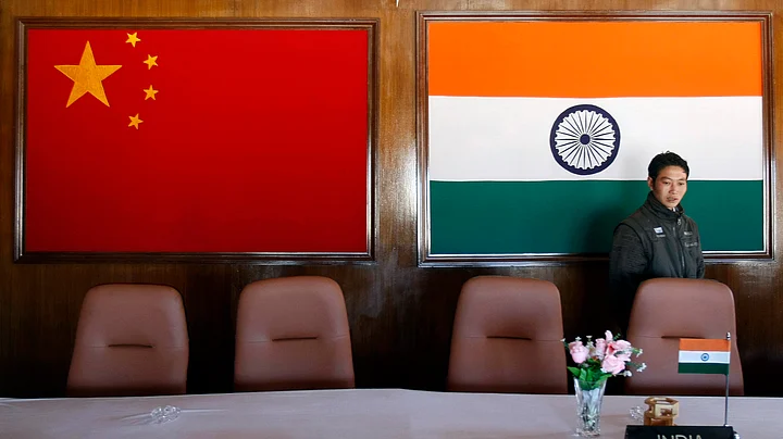
For Arunachal Pradesh, Chinese incursions are not new. Every year, the Chinese enter the Indian territory. They build structures and write on rocks; just to send a message that the land belongs to them.
Arunachal Pradesh shares a 1,129km-long border with China. However, the Indian map comprising Arunachal Pradesh needs some verification and reconstruction, claimed Eastern Arunachal MP Tapir Gao.
Gao, who has been very vocal about raising issues regarding Chinese intrusions and border demarcation, told EastMojo, "We should not take account of Line of Actual Control (LAC), instead we should only recognise the McMahon Line."
“To be precise, we are sharing borders with Tibet, not with China,” he added.
According to a survey done by EastMojo, few areas of Arunachal Pradesh which were with India are now occupied by the Chinese and there are also some areas which are on the Indian side but the map doesn't include those areas.
Although the McMahon Line is accepted by India, neighbour China rejects it. China recognises the Line of Actual Control, which is imprecisely close to the McMahon Line.
McMahon Line, which was The McMahon Line, is the demarcation line between Tibet and the Northeast region of India proposed by British colonial administrator Sir Henry McMahon at the 1914 Simla Convention.
"In a conversation with Jaswant Singh, former Defence/Finance minister, who was serving as an Army captain in Arunachal Pradesh during 1964-66, he told me that Indian Army had eight camps beyond Ashafila and each camp had at least 5 to 8 km distance. But now, we cannot even claim Ashafila," said the MP.
Post-1962 India-China war, areas that include Ashafila, Longzu, Bisa and Maza in present Upper Subansiri district of Arunachal Pradesh was in Indian territory, but now it is with China. India’s last military camp is at New Maza, said Gao.
"Sumdorong Chu Valley in Tawang district also has been captured by the Chinese PLA in 1986, when Krishnaswamy Sundarji was the chief of Indian Army," he said.
Sumdorong Chu Valley (previously in Tawang, Arunachal Pradesh) is bounded by Bhutan in the west and the Thag La ridge to the north. On 26 June 1986, the Government of India lodged a formal protest with Beijing against intrusions in this region by Chinese troops, that had occurred on 16 June.
The official Indian stance was that the Chinese troops had intruded south of the Mc Mohan Line (ML) however, Chinese officials denied any such intrusions and maintained that its troops were in a location north of the ML.
The MP also claimed that "the Fish Tail-1 and Fish Tail-2, which is in Indian territory is not being shown in the map. If we go by the map, those areas are just left out as if it belongs to China."
"We already have military camps in those areas," he said, adding, "The Indian map should be re-drawn."
Fish Tail-1 and Fish Tail-2 are in the easternmost corners of Arunachal Pradesh and road infrastructure is extremely poor. Both the areas are near Mc Mohan Line and the Fish Tail-1 is mostly a glaciated region.
For the first time, India and China had a coordinating patrolling of Fish-Tail-2 along the LAC last year in an attempt to build confidence and maintain peace along the border.
Reports of patrols from both sides crossing the borders (as per their claims), marking their presence before returning and also being face to face, challenging the other have already surfaced many a time.
Proper border demarcation is the only solution for intrusions and face-offs, said the MP.
(This article has been republished in an arrangement with East Mojo.)
(At The Quint, we question everything. Play an active role in shaping our journalism by becoming a member today.)
