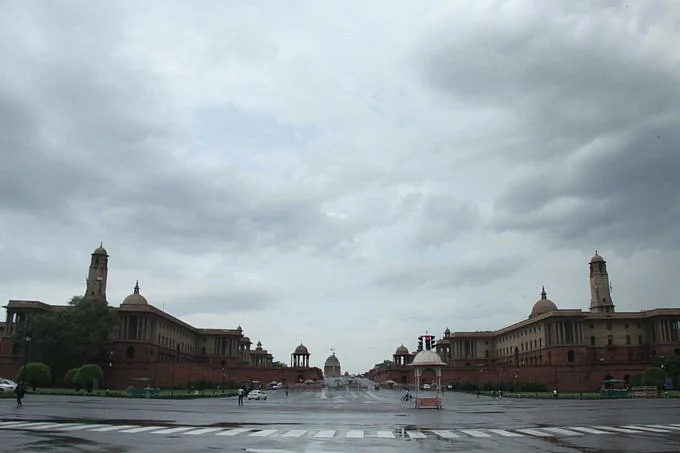
In the aftermath of the impact of Cyclone ‘Tauktae’, Delhi on Wednesday, 19 May, witnessed several hours of downpour and recorded a maximum temperature of 23.8 degrees Celsius.
The India Meteorological Department said that the rainfall in Delhi, Uttar Pradesh, northern Rajasthan, Himachal Pradesh, and Uttarakhand is a result of interaction between the remnant of cyclonic storm “Tauktae” and a western disturbance.
The national capital’s temperature was 16 degrees less than normal and the lowest recorded in the month of May since 1951.
By 8:30 am on Thursday, the national capital had registered 119.3 mm rainfall, surpassing the all-time record rainfall in a duration of 24 hours in the month of May.
Providing representative figures, the Safdarjung Observatory recorded 31.3 mm rainfall between 8:30 am and 5:30 pm and said that moderate rainfall is probable in the Delhi on Thursday, IMD reported.
It further added that “rainfall activity is very likely to decrease” on Thursday and Delhi’s rain forecast is will be between “scattered to fairly widespread".
Earlier, the IMD had issued an ‘orange alert’ for the national capital, predicting heavy to very heavy rainfall in parts of Delhi with strong winds up to 60 km per hour.
In an impact-based advisory, it predicted waterlogging in low-lying areas, traffic disruption, and uprooting of small plants.
(At The Quint, we question everything. Play an active role in shaping our journalism by becoming a member today.)
