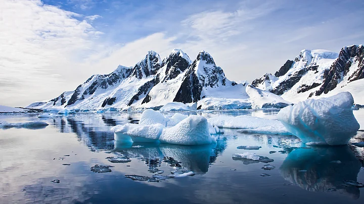
The UN's World Meteorological Organisation published the highest temperatures on record in three Antarctic zones on Wednesday, setting a benchmark for studying how climate change is affecting this crucial region.
Mapping Antarctica's extremes is essential for understanding weather patterns, and teasing out natural climate variability from human-induced climate change, the WMO said in a statement.
Verification of maximum and minimum temperatures help us to build up a picture of the weather and climate in one of Earth’s final frontiers.Michael Sparrow, World Climate Research Programme
For the entire Antarctic region – all land and ice below 60 degrees South latitude – the highest temperature recorded was 19.8 degrees Celsius on 30 January, 1982, at a research station on Signy Island.
For the continent itself, a maximum of 17.5 C was recorded on 24 March, 2015, near the northern tip of the Antarctic Peninsula.
Finally, the highest temperature for the Antarctic Plateau – at or above 2,500 metres was minus 7 C on 28 December, 1980, at a weather station.
Getting a better grip on how global warming might impact the world’s largest ice mass is of more than academic interest.
Spanning an area twice the size of Australia, Antarctica's ice sheet – up to 4.8 km thick – contains 90 per cent of the world's fresh water, enough to raise sea levels by about 60 metres were it to melt.
The continent's western peninsula, close to the tip of South America, is already among the fastest warming regions on the planet, hotting up by 3 C over the last half century – three times the global average.
The lowest temperature yet recorded by ground measurements for the Antarctic Region – and the whole world – was minus 89.2 C at Vostok station on 21 July, 1983.
(At The Quint, we question everything. Play an active role in shaping our journalism by becoming a member today.)
