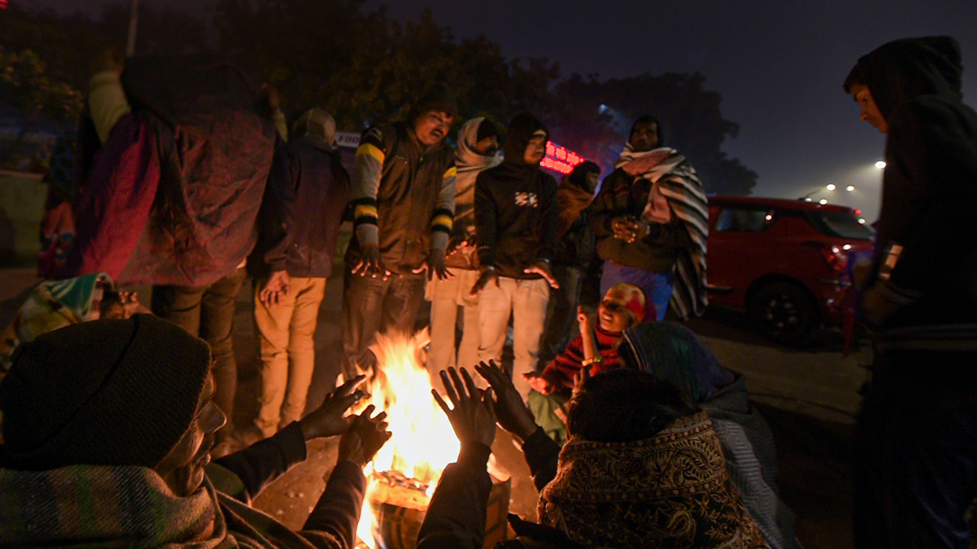
Delhi-NCR woke up to one of the chilliest mornings this season on Saturday, 19 December, with the minimum temperature dipping to 3.9 degrees Celsius, revealed the India Meteorological Department (IMD)’s Mausam app.
The cold wave conditions prevailing since 16 December will continue till Saturday, 19 December, the IMD added.
So, what exactly is cold wave? Why is Delhi freezing more than usual? Here’s what we know.
First, what exactly is a cold wave?
A cold wave is when there’s a significant drop in minimum or night time temperatures. According to the IMD, the minimum temperature (in plains not hilly regions) should be 10 degrees or lower and the drop in normal minimum temperature 4.5 degrees or more for at least two consecutive days, to be called a cold wave.
Delhi witnessed a swift fall in temperature – with NCR recording a drop in minimum temperature, from 14.4 degrees Celsius on 12 December to 4.1 degrees on 15 December.
What will the conditions be like until Saturday?
The maximum temperature is forecast to be between 18 and 19 degrees Celsius while the minimum temperature will be between 4 and 5 degrees Celsius, until Saturday, 19 December.
Why is Delhi freezing cold?
The most predominant reason is snowfall over the western Himalayan range. Jammu & Kashmir, Himachal Pradesh and Uttarakhand have all been witnessing heavy snowfall over the last few days.
"The Western Himalayas recorded widespread snowfall due to strong western disturbances and now frosty winds have been blowing towards the plains, bringing the mercury down," Kuldeep Srivastava, chief of the IMD's regional forecasting centre, told the media, reported NDTV.
Srivastava added that under the influence of an active La Niña climate pattern, temperatures across the globe are dipping.
Wait, what’s La Niña?
According to the World Meteorological Organisation (WMO), La Niña refers to the large-scale cooling of the ocean surface temperatures in the central and eastern equatorial Pacific Ocean, coupled with changes in the tropical atmospheric circulation, namely winds, pressure and rainfall.
A reason behind this below-normal drop in temperatures is also explained by the climate pattern La Niña, the WMO said in a statement on 29 October.
Are El Niño and La Niña the same?
La Niña usually has the opposite impact on weather and climate as El Niño, which is the warm phase of the so-called El Niño Southern Oscillation (ENSO).
“El Niño and La Niña are major, naturally occurring drivers of the Earth’s climate system. But all naturally occurring climate events now take place in against a background of human-induced climate change which is exacerbating extreme weather and affecting the water cycle,” said WMO Secretary-General Professor Petteri Taalas.
Does this mean La Niña is stronger this year?
This year’s La Niña is expected to be moderate to strong. The last time there was a strong event was in 2010-2011, followed by a moderate event in 2011-2012, the WMO said.
It is important to note that El Niño and La Niña are not the only factors that drive global and regional climate patterns. No two La Niña or El Niño events are the same, and their effects on regional climates can vary depending on the time of year and other factors.
(At The Quint, we question everything. Play an active role in shaping our journalism by becoming a member today.)
